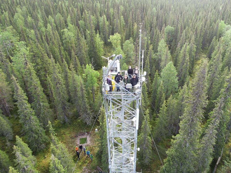
Kenttärova

Coordinates: N67°59.237', E24°14.579' Altitude (m.a.s.l): 347 Ecosystem type: Spruce forest Networks: ICOS associate ecosystem station CryoNet station of GCW
Observations
CO₂ flux (EC at 23 m since 01/2003)
CO₂ and CH₄ flux (manual chamber since 07/2016)
CO₂ and CH₄ concentration (at 2, 10, 20 m since 06/2012)
Supporting environmental data: Air temperature + humidity, soil temperature, soil heat flux, soil moisture, PPFD, global radiation, albedo, net radiation, LW radiation, precipitation, snow depth
Climatology
Climate data point: FMISID: 101969, WMO: 02823 Average temperature (°C): -1.4 Annual precipitation (mm): 484 Average snow depth at mid-March (cm): 72 Median snow cover start date: Oct 24 Median snow cover end date: May 14
Environment
Vegetation type: Norway spruce (Picea abies) forest Mean vegetation height (m): 13 Max projected LAI: 2.1 Soil type: Podzol Stand volume (m³ ha⁻¹): - Tree density (ha⁻¹): 1050 Tree age (years): 70-160
7.7.2022